July 1, 2025
EP182 Real-time Land Mapping, High Resolution Imagery, Drone Deer Survey, Thermal
Whitetail Landscapes - Hunting & Habitat ManagementAbout this episode
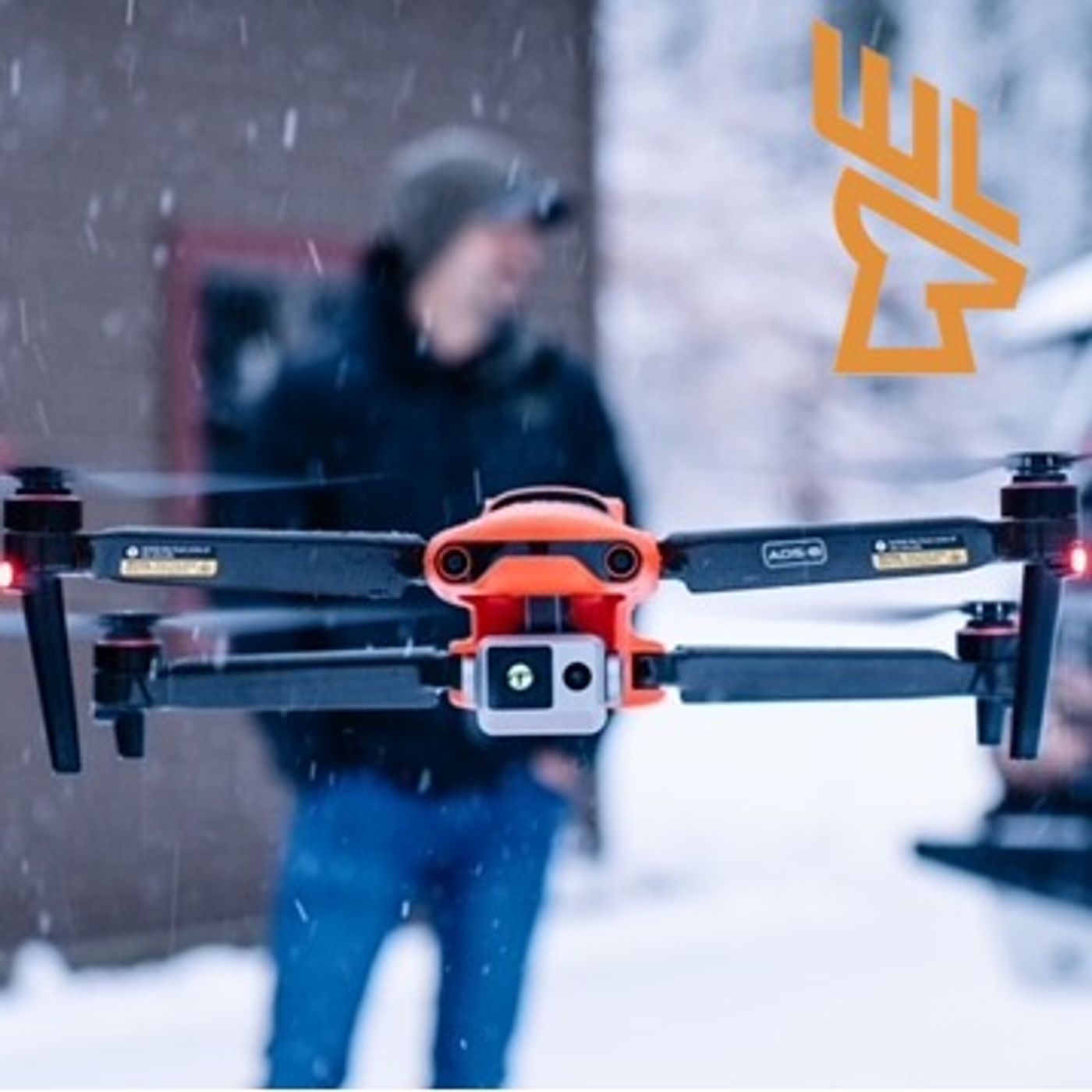
In this episode, Jon Teater (Whitetail Landscapes) and Lee Vandenbrink (Aerial Wildlife Solutions) explore drones, their benefits and how these tools can change your perspective on hunting and wildlife. This podcast episode explores the intersection of technology and hunting, focusing on the use of drones for land management, habitat mapping, and deer recovery. The host and guest discuss the importance of quality equipment, the benefits of using drones for surveying and mapping properties, and the ethical considerations surrounding deer recovery. They emphasize the need for accurate data to make informed decisions about land management and hunting strategies, while also addressing the evolving role of technology in the hunting industry. Takeaways: Good quality equipment is essential for effective land management. Drones can provide high-resolution maps for property analysis. Thermal imaging technology is valuable for deer surveys and recovery. Understanding deer behavior is crucial for effective hunting strategies. Seasonality affects deer movement and habitat usage. Mapping can help identify vegetation types and health. Drones can assist in ethical deer recovery efforts. Technology should enhance, not replace, traditional hunting skills. Every property has unique characteristics that affect deer usage. The future of hunting will increasingly rely on technological advancements. Social Links https://aerialwildlifesolutions.net/ https://whitetaillandscapes.com/ https://www.facebook.com/whitetaillandscapes/ https://www.instagram.com/whitetail_landscapes/?hl=en Hosted by Simplecast, an AdsWizz company. See pcm.adswizz.com for information about our collection and use of personal data for advertising.